
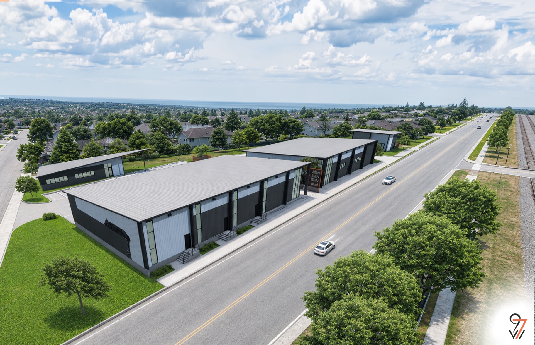
PG.011Transportation
Connected to everything.
PG.012
Location
Where the DFW Metroplex converges.
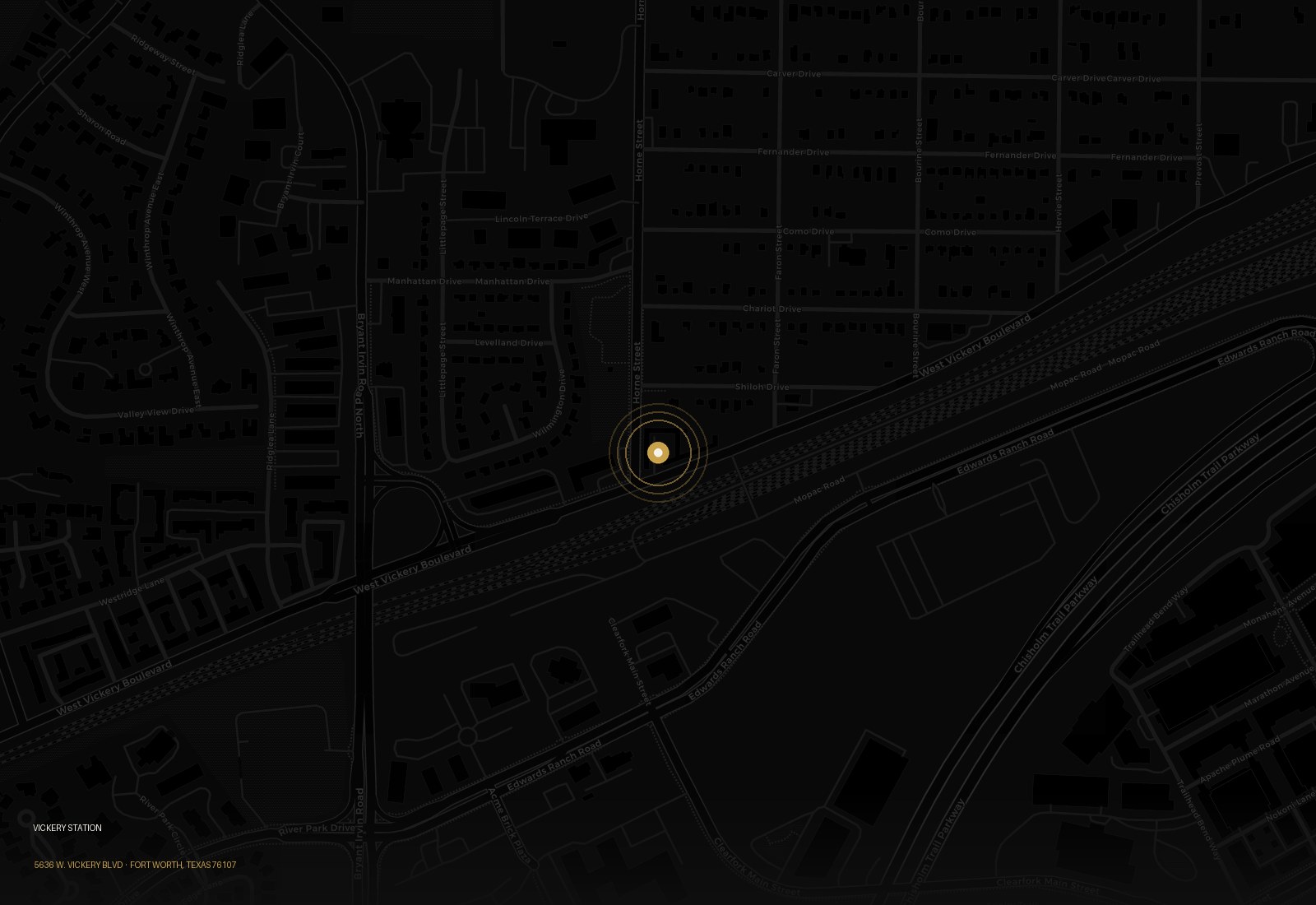
The Site
5636 W. Vickery Blvd
Fort Worth, Texas 76107
32.711818° N · 97.407889° W
Legend
Vickery Station
Landmark
5636 W. Vickery Blvd · Fort Worth, TX 76107 · Minutes from I-30, I-35W, and Loop 820.
Access
In the heart of west Fort Worth.
Vickery Station sits at a crossroads of highway, air and downtown access. For logistics-adjacent and service tenants, the location keeps trucks and technicians moving. For office and retail tenants, it puts clients minutes from every part of the Metroplex.
Highway Access
Minutes- 4 minI-30East–west spine through downtown Fort Worth to Dallas
- 5 minI-35WPrimary north–south corridor through Fort Worth
- 10 minLoop 820Fort Worth's connector loop
- 12 minSH-121 / 183 (Airport Fwy)Direct route to DFW and the mid-cities
- 15 minI-20East–west across the southern Metroplex
Air
Minutes- Fort Worth Meacham Int'l10 min
- DFW International Airport22 min
- Alliance Airport25 min
- Dallas Love Field35 min